UAV Point Cloud Intelligence
Point Cloud Classification
Drone point clouds made practical for analysis and modelling.
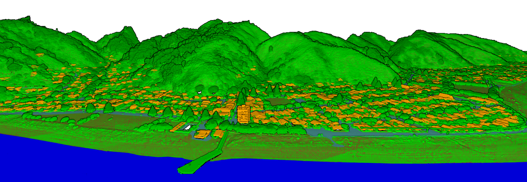
UAV point cloud datasets are widely used to characterize vegetation structure, but the full potential of photogrammetric data is often underused. Many projects need dense point cloud information converted into Digital Elevation Models, Digital Terrain Models, Digital Surface Models, or Canopy Surface Models because working directly with massive LiDAR-like datasets can be challenging.
UAV point clouds support canopy-height measurement, tree-height estimation, tree-crown diameter analysis, individual-tree detection, and special use cases for monitoring annual crop development in agriculture.
Reliable Classification
Role of Reliable Classification in GIS and Remote Sensing.
Reliable classification ensures accurate identification and categorization of land features, objects, or data based on specific characteristics and patterns. It plays a vital role in remote sensing, geographic information systems (GIS), and data analysis by improving the quality and consistency of information. Reliable classification helps in better decision-making for urban planning, agriculture, environmental monitoring, and disaster management. By using advanced algorithms and precise data sources, classification results become more efficient, reducing errors and increasing the reliability of analysis and planning processes.
DEM, DTM, and DSM
Dense UAV point clouds converted into terrain, elevation, and surface model products.
Canopy Structure
Canopy height and surface modelling for forestry, agriculture, and environmental analysis.
Tree Measurements
Tree height, crown diameter, and individual-tree detection from classified UAV datasets.
Crop Monitoring
Point cloud analysis for annual crop development and field-level agricultural observations.
3D Model Inputs
Classified point outputs prepared for detailed 3D modelling and visualization workflows.
Accuracy-Led Extraction
Manual and assisted extraction aligned with project-specific horizontal and vertical accuracy needs.